British Embassy
A turnkey groundwater source
Addis Ababa
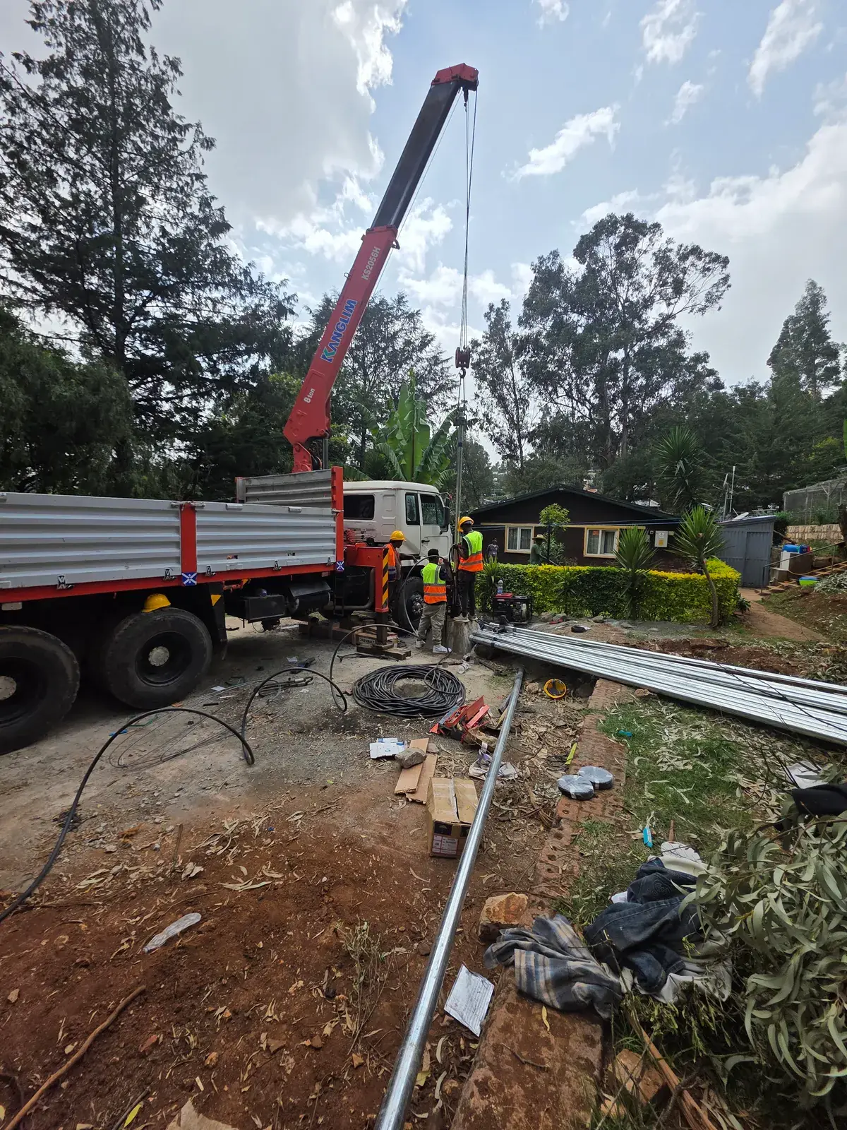
A complete groundwater source: survey, a 250 m well, and a submersible pump connected to the tank.
- Well depth
- 250m
Survey · Drilling · Pump and tank connection
Our services · 01
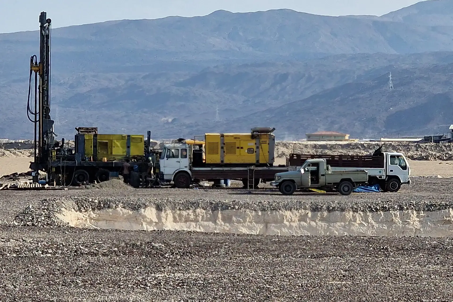
Find the right water source before you drill, with a survey that names the site, depth and likely yield.
We review existing hydrogeological data, inspect the site and run electrical resistivity soundings to locate productive aquifers and estimate their potential. The recommendation that follows names the drilling site, the expected depth and the likely yield, which reduces dry-hole risk and supports permits and donor reporting.
Who it is for: Project owners, developers and institutions planning a new water source
The survey reads every layer in this drawing — from topsoil down to the aquifer — and estimates the depth to drill to and the likely yield.
British Embassy
Addis Ababa
A complete groundwater source: survey, a 250 m well, and a submersible pump connected to the tank.
Survey · Drilling · Pump and tank connection
Tell us where your site is and what you need. We reply with a clear next step.